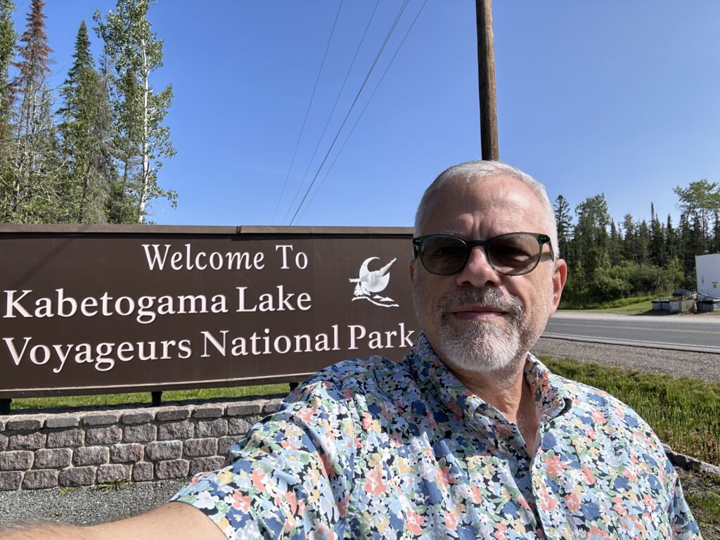
Voyageur’s National Park was a goal since last year and is particularly interesting to me because it’s not only in Minnesota, but is also close to my hometown.
I grew up in Baudette, on the Canadian border, only 80 miles from Voyageurs. Not only that, but my family made several trips a year to International Falls, which is only 10 miles from the park. However, while I remember many camping trips to Canadian Provincial Parks, I do not believe we ever visited this hometown national park.
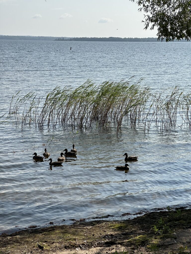
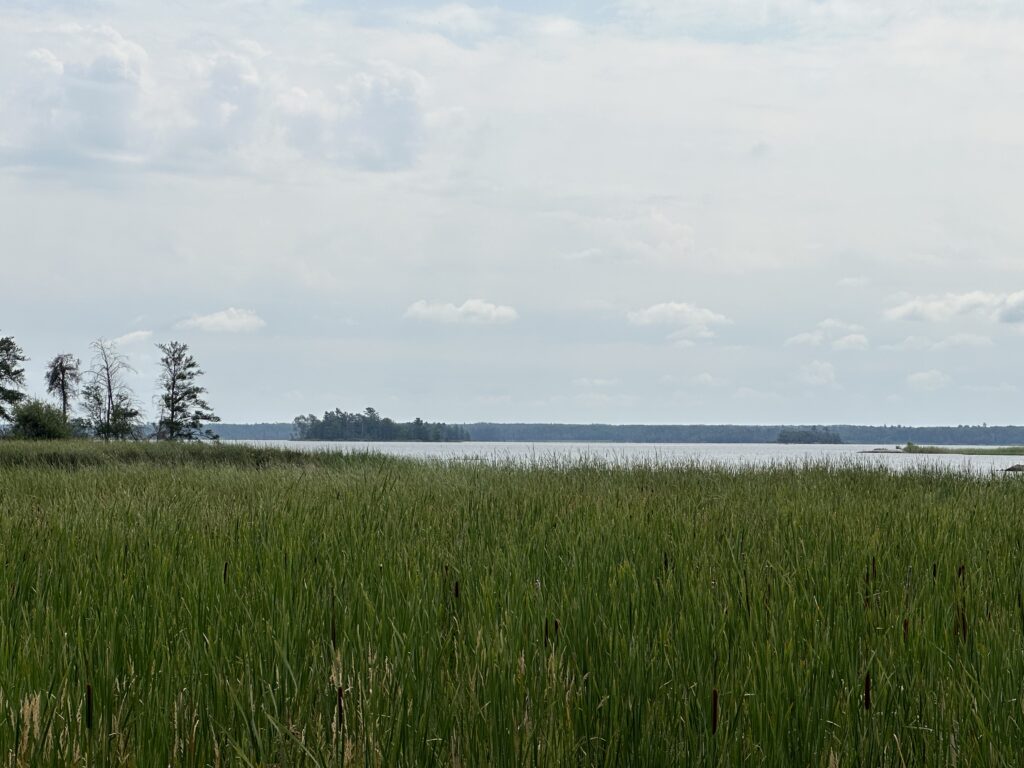
Voyageur’s is one national park that you cannot really do justice to by a land only visit. Unfortunately, this is what we did because we had limited time and two dogs that don’t know anything about boats. Because so much of the park surface area is water, it is much better visited by boat, canoe, or kayak. Voyageurs National Park contains 84,000 acres of water, 655-miles of undeveloped shoreline, and more than 500-islands (per the National Park Systems). While this seems like a really large park, it ranks 32nd of all US National Parks by total area. Still, it is a park in which one could rent a small houseboat and easily spend an entire summer vacation exploring.
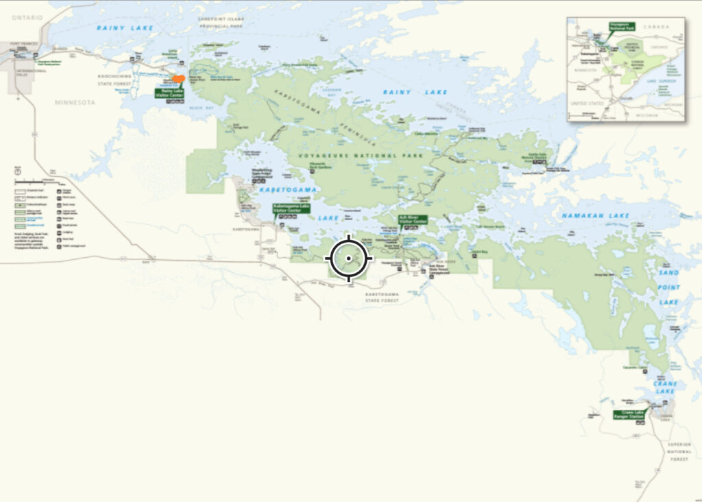
A nice way to plan your hiking visits to parks is to download the park map from the App “Avenza Maps”. I have started to use it for all my park visits, although I didn’t have it when we went to Voyageurs. I have downloaded 24 park maps so far and have yet to pay for any of them. In general, the park maps are free. Here’s the map from there for this park and if you look closely you can see the two orange dots that mark the part of the park we hiked. While it counts as a visit, there’s a lot more to see in this park.
One of the nice parts of these maps is that they are all referenced to your GPS location on your phone. I can record GPS tracks, drop pins, include photos, and check distances between points on the map. When you are hiking crisscrossing trails in a park it’s easy to check the forks in the trails and make sure you stay on the trail you are meaning to hike.
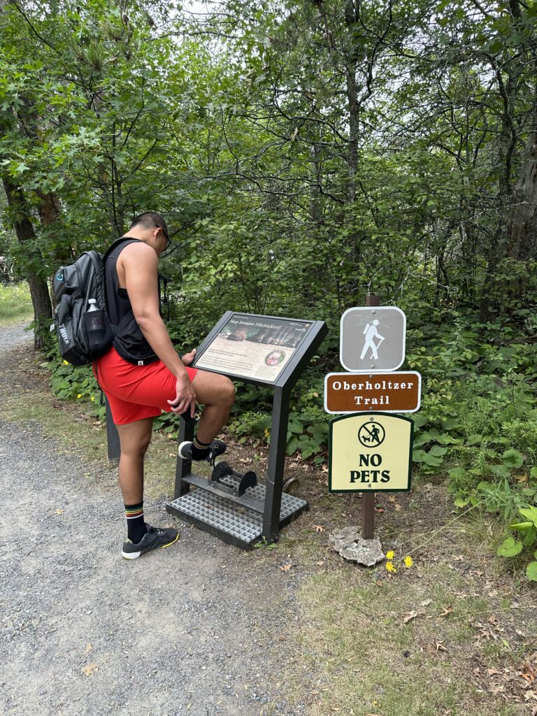
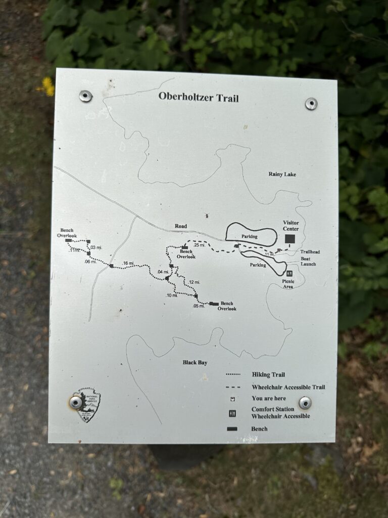
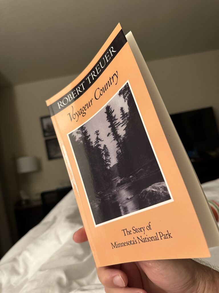
For this hike, we started at the Rainy Lake Visitor Center and did the Oberholtzer Hiking Trail from there. The book, Voyageur Country, by Robert Treuer, was an educational find that touches on every part of the history of the park. This includes some of the significant machinations of politics that are needed to create such a national park.
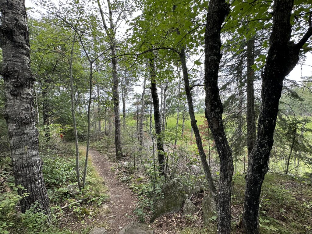
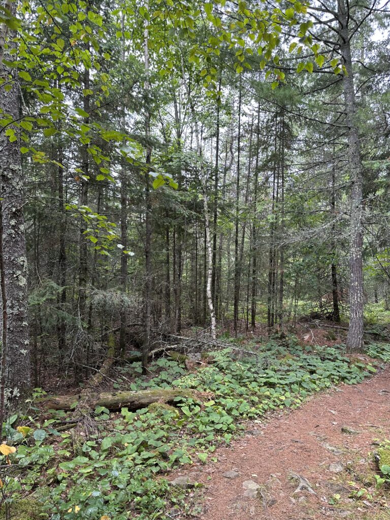
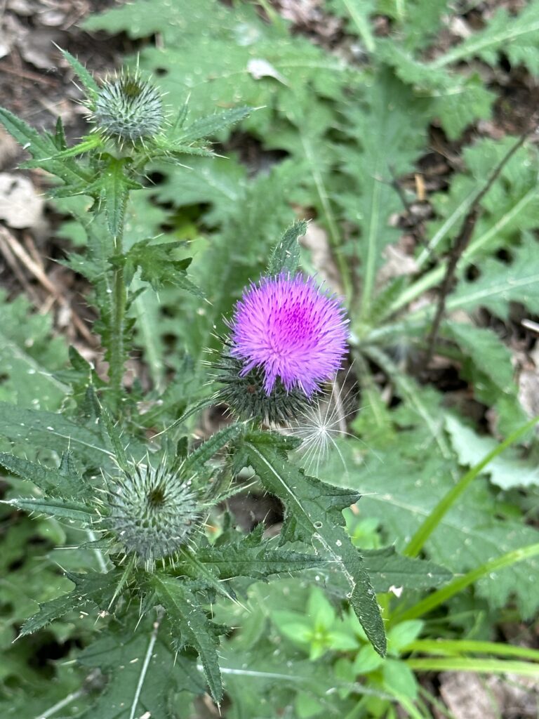
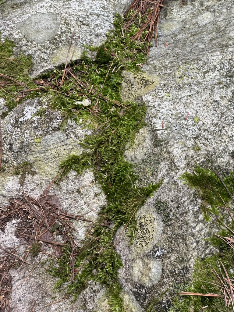
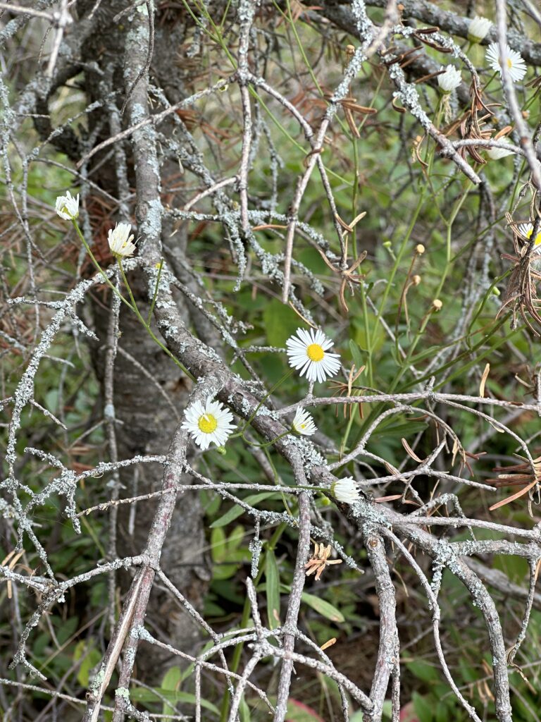
What I love about hiking in parks is the peace and beauty. Simple things such as flowers, weeds, moss, and trees along with sun, wind, rain, and water blend to make trails in which no two are exactly the same. Much like a fingerprint, except that this fingerprint can and does change daily. What’s the most unique thing you’ve seen during your hikes?
This was our twelfth National Park and the only one in our home state. The next National Park for us will be a repeat, but soon we will plan a new one.
Discover more from R Scott Tyler
Subscribe to get the latest posts sent to your email.